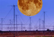
These measurements would complement those of the Graves space surveillance radar, also designed by ONERA, which determines the orbitsofsatellites flying over France. The Nostradamus radar antenna network
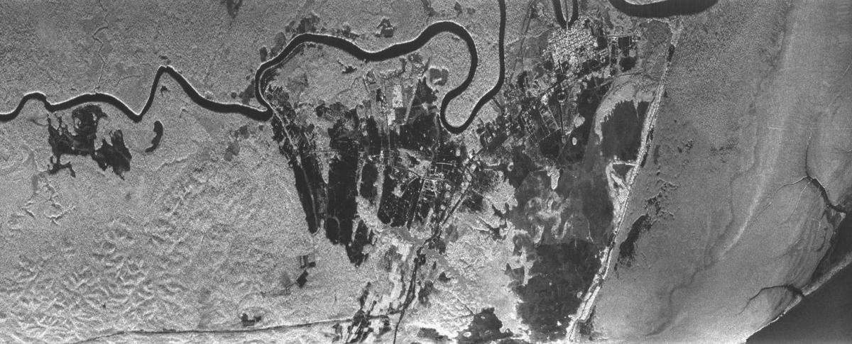
"This would be the first satellite able to generate a complete cartography of the forests of the planet every 35 days and the first remote sensing satellite to operate on such a large wavelength, with deployment of an antenna of 15 to 27 meters when in orbit. This image covers about 12kmx8km with a resolution of 1m. The Biomass* satellite will have a resolution of 50m