A 3D urban reconstruction from radarimages is possible... 3D rendering of a part of the city of Toulouse from radarimages acquired in polarimetric and interferometric (PolInSAR) modes, with Onera airborne experimental equipment... The polarimetric SAR technique means radarimages can be obtained for several different emission and reception polarizations
Thus, one of its groups was among the first to show that numerical simulation could be used for reconnaissance in SAR radarimages; another was the first to show the detection of changes in a scene from two SAR satellites not dedicated beforehand to performing this task (the Canadian Radarsat-2 and the German TerraSAR- X) ;several identification algorithms in very complex scenes were also created within these groups
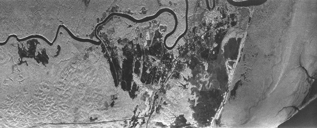
"The Sethi images have the same characteristics as those obtained by the radar detectors proposed for the Biomass candidate satellite... It was developed and certified in 2007 and produces radarimages of the ground, during the day and at night, regardless of the weather conditions